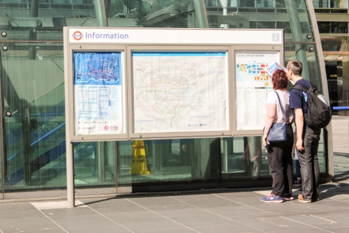
A geographically accurate Tube map? This sounds like a big ask: I mean, a busy transport authority like TfL is hardly going to draw a whole new map?

But as it turns out – James Burbage, a hero of whom we know sadly little, submitted a Freedom of Information (FOI) request to Transport for London (TfL) many years ago – such a map already exists. TfL just don’t talk about it very often.
It’s the geographically accurate London Connections map. It shows all of London’s Tube and railways. It shows Croydon’s tram routes. It shows main roads, and major parks. It shows where the built-up area stops, and where motorways begin.
The map gives equal prominence to TfL lines and those run by private national rail operators (although these are differentiated through the thin black bands around them). But it emphasises TfL’s own stations by showing them in its official font, heavier and more striking than the narrow one used for national rail stations.
The map is really rather good if you’re interested in abandoning the geometric purity of the stylised Tube maps, and seeing where your train really goes. You can suddenly see quite how closely packed stations in the centre of town are, compared with those in the suburbs. These two extracts – one showing the City of London and its surroundings, the other the Essex-flavoured suburbs of Romford and Hornchurch – are to the same scale:
It’s interesting to see where the urban area stops
However, there’s a slightly unfinished air to the whole geographically accurate Tube and rail map. There’s a jarring change in the size of the fonts used in central London, although that part of the map is magnified in the bottom left-hand corner. And at least one station is in the wrong place (Emerson Park, since you ask). On the whole, you can sort of tell this was never really intended for publication.
But it is nonetheless quite lovely, if you’re into that sort of thing, which obviously we are. You can see the whole thing, and explore it at your leisure, here.
This map went down so well, in fact, that a statement from TfL said that it decided to publish the thing on its own website as an official, non-secret map.
“We create a wide variety of maps for our customers for planning and other uses. An extensive range of these, including walking maps and interactive maps, are available on our website and are used by millions of people every day. The most popular is the classic Tube map, which people are familiar with using to navigate London.
“This map was produced for engineering works planning and wasn’t designed for customer use, however, we are happy to make any maps available which help our customers to travel in London. This map will therefore be added to our website.”
[Read more: How many railway terminals does London have?]


