
When a Mexico City subway control centre caught fire in the early hours of 9 January, it temporarily paralysed the Metro system, shutting down half the train lines and leaving some two million commuters in need of alternative routes.
The stoppage complicated an already dizzying transportation system in the megacity, where the public transit infrastructure is often insufficient at getting 21 million residents where they need to go. Service for three of the affected train lines was restored within a few days, but others were out for weeks, with the last line restored in February. Emergency measures were put in place during the outage, with bus rapid transit, trolley and urban bus lines running alternative routes to maintain service. But in a city with so many transportation options, the outage still introduced chaos.
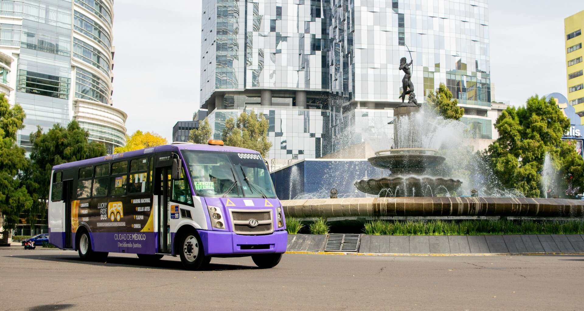
Mexico City has a robust informal transit system of colectivos, privately operated microbuses and vans that share the streets with the city’s metrobuses but don’t have clearly defined timetables or pickup points. After the fire, the colectivo services got a technological assist: Google Maps incorporated the routes into the app for the first time, using data collected by WhereIsMyTransport, a UK start-up with the goal of thoroughly mapping public transit systems – formal and informal – to better benefit the people in cities around the world who use them.
For commuters in Mexico City in January, the Google Maps update closed an essential information gap when it was most needed; when one of the most widely used modes of transportation, the Metro, was temporarily disabled, people could access the full scope of alternatives available to them.
How informal transport serves a city
Informal modes of transportation, everything from the microbuses of Mexico City to motorbikes and pedicabs, form a vital part of transit networks in locales around the world. Transportation is one aspect of an informal economy that makes up some two billion workers worldwide, primarily in non-Western countries throughout Asia, Africa and Latin America.
A 2000 UN Centre for Human Settlements report lays out the ways that for decades, informal transit networks have filled in gaps to become vital parts of city infrastructure. In addition to meeting transportation needs, informal transport methods are a source of employment and complement official public transit routes by serving harder-to-reach areas. They’re also adept at responding to market demand, easily adjusting schedules, routes and practices in accordance with the needs of commuters.
WhereIsMyTransport views informal modes of transit as relevant, important parts of a transportation network in many cities. The London-based company wants to grow informal transit’s impact on urban mobility with better data. It focuses its work in cities in Africa, Asia and Latin America, which it refers to as the “majority world”. It’s intended to be “a helpful reminder to our friends in Europe and North America of the reality that the majority of the rest of us still live in these places”, says co-founder Devin de Vries.
“There is an opportunity to bring digitalisation into an ecosystem in a way that can have a positive impact,” says de Vries, whose interest in improving mobility began when he was a student at the University of Cape Town. “You already have these cities that are asset-rich, they’re just information-poor, and technology and digitalisation can bridge that divide.”
Much in the same way these informal transit systems are community-based solutions to transportation needs, WhereIsMyTransport relies on local knowledge by hiring residents to collect the data they map. In Mexico City, where it has had a presence since 2018, a team of on-the-ground collectors initially spent months thoroughly mapping the Metro rail system, the Metrobús system and informal modes of transit, and submitted all the data to be organised.
“Sometimes that means [mapping] stopping points that aren’t necessarily sanctioned, but it’s a stopping point, so we believe you should represent it,” says de Vries.
Now, even with the initial survey of the transport landscape done, people continually update information as routes change – work that became crucial on the weekend of 9 January. The data sets update almost daily to ensure that WhereIsMyTransport is representing what it calls “ground truth”, confirming that the information people receive matches their lived experience.
“[In the days after the fire] it was amazing how the team within Mexico City activated,” says de Vries. “They were working flat-out through the weekend to ensure that commuters were able to get updates on which stations were shuttered, which lines were closed and some of the new routes that were being opened up.”
Disrupting the transport landscape
These on-demand forms of informal transit have been a sort of precursor to disruptive ride-share apps Uber and Lyft. In fact, ingenious informal transit drivers have been able to “disrupt” these companies. Shortly after the company arrived in Nairobi, Kenya in 2015, Uber drivers began to go on strike over complaints of low wages, long hours and few worker protections (complaints shared by Uber drivers in the US and elsewhere).
One subversive way these disgruntled drivers got around the app was by “going karura”, or using it to connect with a passenger and estimate a trip price, then negotiating with the passenger and completing the ride off the books. While the struggles with Uber continue, this strategy exemplified one way local solutions met local needs.
You already have these cities that are asset-rich, they’re just information-poor, and technology and digitalisation can bridge that divide. Devin de Vries, WhereIsMyTransport
While having a complete picture of a city’s transportation options is helpful for planning and city management, WhereIsMyTransport’s primary goal is assisting the end user, the commuter. To that end, the company includes specific information in its data collection around factors like lighting, or disability access at transit stations, or whatever other information is relevant to a specific place wherever possible, to empower as many users it can with information.
Informal transit, though not without problems, has become essential infrastructure in many parts of the world. De Vries and others believe that instead of developing away from these networks, cities can optimise them to make them safer, better and more efficient for commuters.
Digitising and widely disseminating this information is one way to do that; knowing the full range of transit options benefits city dwellers, whether in an emergency, as was the case in Mexico City, or in the course of daily life.


