Maps
How new methods of analysing walkable access can uncover spatial inequalities
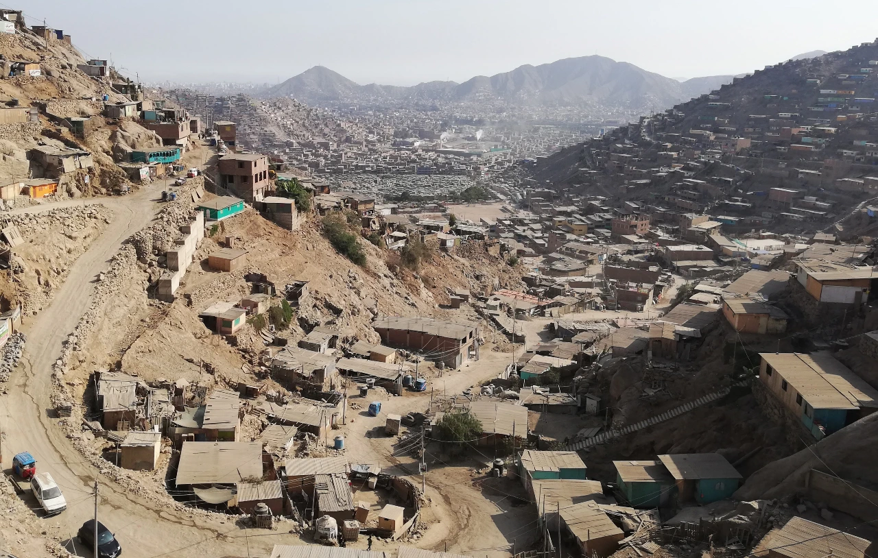
Public open spaces in cities provide vast social, environmental and economic benefits, but for the community to enjoy them they…
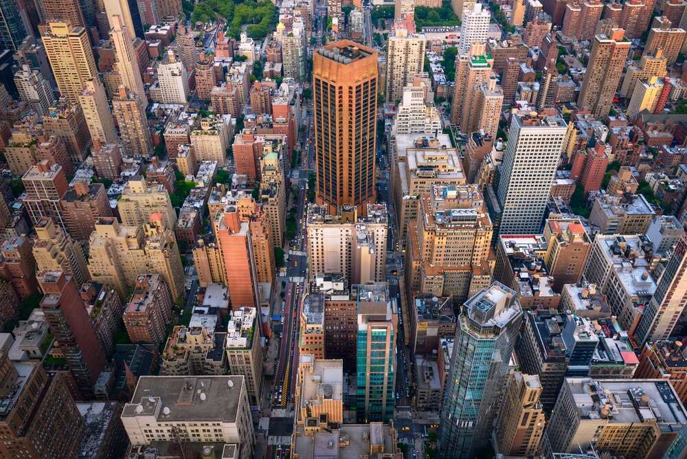
NYC Street Map: A city app now lets you look at historical streets
New York City's vast and intricate web of streets, with its rich history, is now accessible through an updated app,…
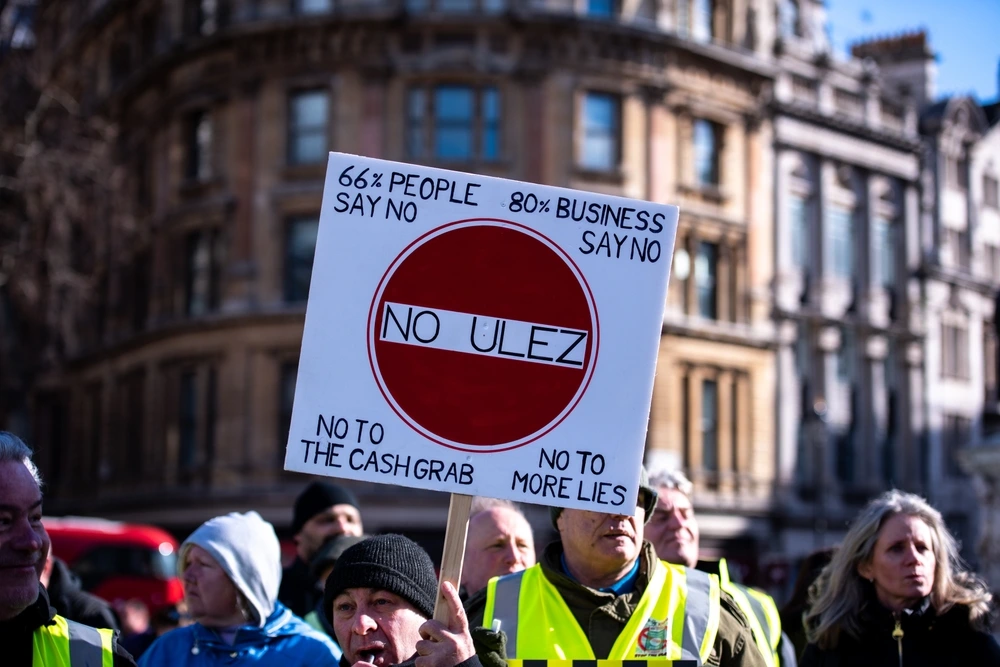
What do Londoners really think about the ULEZ expansion?
The expansion of the Ultra Low Emissions Zone – better known as ULEZ – has once again become the centre…
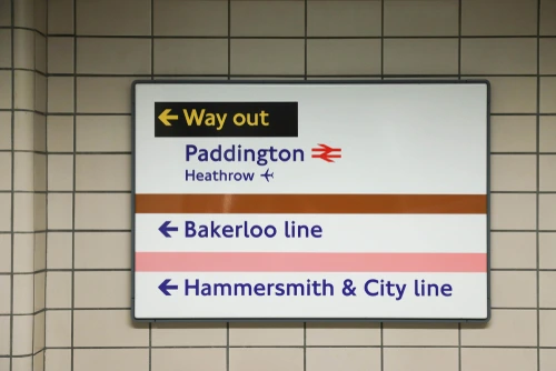
How did London’s Tube lines get their names?
Most cities’ metro (underground or Tube) networks have boring names for their lines: colours or numbers or occasionally letters, simple labels…
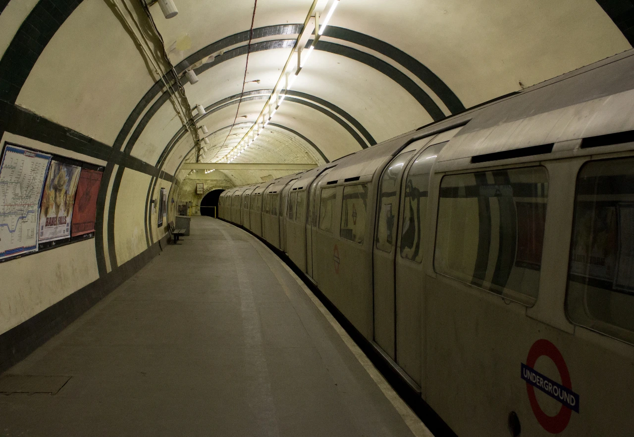
10 fictional Tube stations from TV and film
When I wrote about the use of the Tube in Doctor Who a while back, one of the fictional stations…
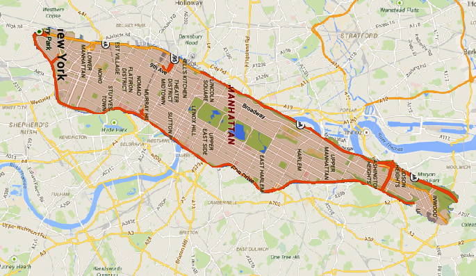
Just a map of Manhattan dropped onto one of London
Just for the sake of comparison, we've decided to drop Manhattan on top of London this week. Here are the…
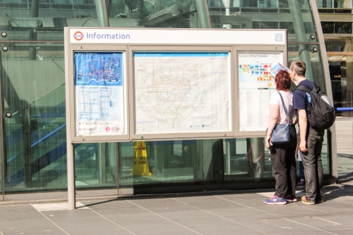
A geographically accurate Tube and rail map
A geographically accurate Tube map? This sounds like a big ask: I mean, a busy transport authority like TfL is…
The Swiss rail network has an interactive map
Made by the self-described hacker, trainspotter and map addict Vasile Coțovanu, the interactive rail map uses data from the federal…
Here’s what happens when you put the Paris metro over London
We've written before about the difference in scale between the official city limits of Paris and those of London, Several…

