The reason for this actually stems from maps’ very purpose: that is, their attempts to accurately represent the world around us. If you’re just documenting what’s already there, there’s nothing to stop other map-makers copying your work – and, if you’re as accurate as you’d like to be, you’d have no way to prove that they’d done so.

So, to protect their work, many cartographers fall back on a simple trick: “easter eggs”. These are small errors or jokes buried somewhere in the map, which act as a kind of watermark for the map-maker: fake towns, say, or imaginary streets. This is great for map companies, but less great for those of us led astray by their mistakes.
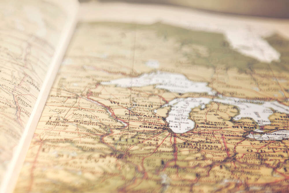
Agloe, New York
This example is particularly uncanny, as the fake settlement (often called a “paper town”) actually became a reality. In the 1930s, cartographers placed a non-existent town called Agloe on a map of Delaware county, New York state. In 1950, a general store was built in the area. It was near “Agloe” on the map, so its owners named it “Agloe General Store”.
Mount Richard
In the 1970s, the official map of Boulder County, Colorado, contained a very misleading feature indeed. According to Mark Monmonier’s How to Lie with Maps, the sketch of the Rocky Mountains included a peak called Mount Richard, which, as you may have guessed, didn’t exist. Sorry, confused mountain climbers.
It’s assumed that this was a matter of avoiding imitation – though the coincidence of its drafter’s name, Richard Ciacci, suggests ego might have had something to do with it, too.
London’s trap streets
According to a BBC2 programme broadcast in 2005, London’s A-Z street atlas contains around 100 “trap streets”: made-up roads used to trick imitators. Most are small, connecting streets between larger arteries, such as Moat Lane in Finchley.
There are other idiosyncrasies, too – for a while, Haggerston park appeared to have its own ski slope:
Beatosu and Goblu
OK, this one doesn’t have much to do with copyright at all. Beatosu and Goblu were two made-up Ohio paper towns, inserted into the 1978–79 official map of the neighbouring state of Michigan. Go Blue was the slogan of the University of Michigan; Ohio State University (OSU) was its rival. Peter Fletcher, chairman of the state highway commission and University of Michigan alumnus, asked the map’s cartographer to include the fake towns as a dig at his rival college.
Argleton
This was a mysterious paper town marked out on Google Maps near the West Lancashire village of Aughton. It was discovered, and brought to the internet’s attention, by Mike Nolan, an employee at Edge Hill University, in 2008, but was only removed last year.
Google has kept quiet on its reasoning for the town’s existence, and the long interlude before its removal – though it’s possible that, like creators of physical maps, they just wanted a way to protect their content.
Alternatively, keen-eyed commentators have pointed out that the town’s name is an anagram for “Not Real G” and “Not Large”. (Also, according to our independent research, ”Angle Rot” and “No Gel Rat”). Perhaps we’ll never know.
[Read more: Where are the largest cities in the US?]


