In 2005, Rebecca was looking for a place to live. She chose a nice street in Bromley, London, just next to the quiet Crystal Palace Park and relatively low on traffic – Google Maps wasn’t something she was considering.
“It was the wide, avenue-like appearance of the road, with its villas and Victorian houses, that I loved about the road,” she tells City Monitor.

These days, however, the road looks less appealing.
“I cycled here until around 2013 after which I stopped as the traffic levels exploded,” she says. “It’s got worse year on year.”
“About 25% of the traffic I see are cabs, […] and of course they all use sat-nav,” Rebecca says.
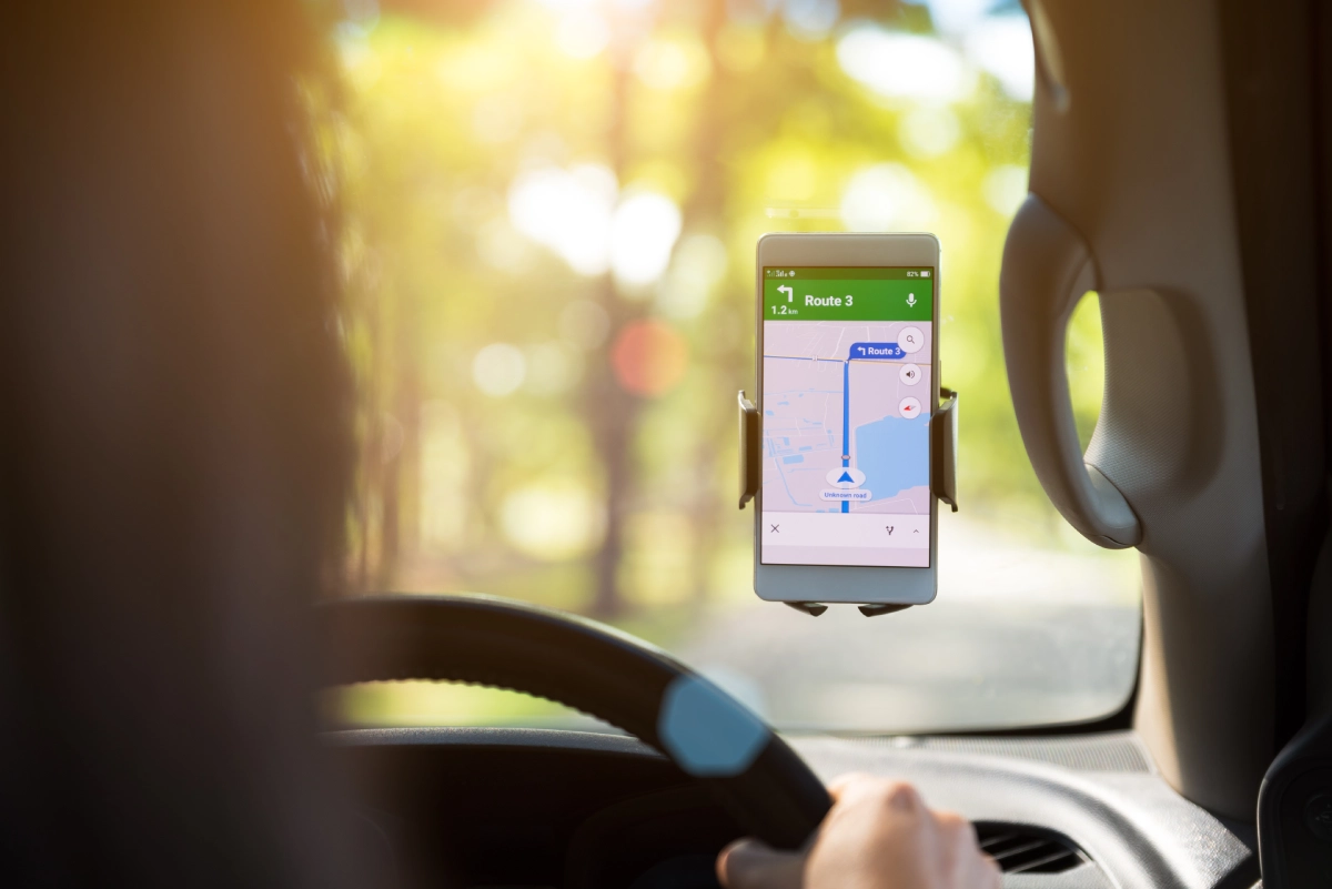
Early in 2007, Google announced that the company has added a long-awaited feature to its popular maps platform – traffic congestion information.
“We can’t make traffic go away,” said the search giant, “but we hope Google Maps traffic info helps you avoid it whenever possible.”
The next year, Google Maps would go a step further by releasing its app to Android and iOS smartphones, making traffic information even more readily available. By 2011, the smartphone navigation app would automatically suggest routes it has determined to be less busy to make “traffic better for everyone else by avoiding traffic jams”.
How has Google Maps affected local traffic?
Since 2008 – when the Google Maps mobile app first launched – traffic has increased, with the number of vehicles on UK streets rising from 34 million to nearly 39 million at the end of 2019.
However, traffic on the UK’s motorways and ‘A’ roads – major roads intended to provide large-scale transport links within or between areas – has stayed relatively flat.
Read more: [Using AI to unclog urban traffic]
In London, the Department for Transport recorded some 12.1 billion vehicle miles on A roads and motorways in 2009. In 2019, the year before the Covid-19 pandemic dramatically shifted traffic patterns, that number increased only slightly to 12.3 billion.
So, if motorways have remained relatively unchanged, where did all those extra cars go?
Traffic on minor roads – which include countryside roads and residential streets – has surged from 6.6 billion vehicle miles in 2009 to 10.4 billion in 2019.
Rat-running, as the phenomenon came to be called, describes the practice of motorists using minor roads to avoid traffic, tolls and red lights, or to use shortcuts to reach their destination faster.
These findings aren’t limited to London: across the UK, traffic on motorways and A roads has increased by some 10% from 2009 to 2019. Meanwhile, traffic on minor streets has increased by more than a quarter.
In the US, a team of researchers released a paper in 2017 that showed how navigation apps, rather than solving congestion issues, “have led to new congestion patterns that never existed before”.
This has been further elaborated on in a speech by one of the paper’s authors, Alexandre Bayen, the director of UC Berkeley’s Institute of Transportation Studies.
According to simulations from Bayen’s team, when drivers take shortcuts on routes that were never designed to handle the traffic, they continue to clog up the main roads as well as the minor roads around them.
And it is GPS routing apps such as Google Maps, not other factors, that Bayern’s team has identified as the root cause of increased traffic on minor roads. In Los Angeles, for example, more than 70% of drivers who didn’t use these apps spent under four minutes of each hour on local roads.
On the other hand, some 75% of drivers who used navigation apps spent over four minutes of each hour on local roads.
So, is rat-running just an annoyance for residents?
Research shows that, in the UK, pedestrians are 17% more likely to be killed or seriously injured on minor roads compared with major roads for each mile a vehicle travels. The risk for smaller injuries was even greater, with a 66% increase for minor roads.
London’s Imperial College also found that pollution was two to three times higher closer to busy roads than at background locations. Minor roads, in particular, pose a higher pollution risk due to the number of people living near them and the fact that buildings on the sides of those roads can “trap” the pollution particles.
“People are woken by cars beeping each morning so have moved their bedrooms,” explains Rebecca. “I know several neighbours who are moving; I also just want to move away now, which saddens me,” she adds.
“Waze [another routing app owned by Google] actually encourages speeding, because if a road is free-flowing, then people will speed, which makes the journey time show up as quicker. So more people will use that rat-run, and thus more people will speed too.”
Fighting back against navigation apps
In some cities, residents are using the very tools ruining their neighbourhoods to fight back.
In 2020, a German artist showed it was possible to trick Google Maps into thinking there is a traffic jam when he pulled 99 smartphones in a handcart. Similarly, residents of quiet streets across the US found they could prevent through traffic by submitting fake reports of car accidents on their streets to Waze.
There are, however, more practical methods to kill cut-through traffic.
Traffic-calming measures such as speed bumps, bollards and limiting traffic to one way have all been shown to reduce the number of cars taking shortcuts through residential streets.
In the UK, low-traffic neighbourhoods have spread during the pandemic. These neighbourhoods block or limit the access of motor vehicles at certain times or throughout the day. Residents, visitors, delivery drivers and emergency services still have access by car via certain streets, but cut-through traffic is greatly diminished.
The data and routing algorithms used by Google’s Maps and Waze apps could also help researchers and local officials better understand how traffic is managed and to what extent the apps have changed our urban landscape. However, little of that data has been released.
Until then, navigation apps such as Google Maps will continue to shape the neighbourhoods we live in, maybe even beyond the traffic that floods in.
“Because the roads are so dangerous, parents drive kids to school,” explains Rebecca. “So we have more cars. Making it even less safe to cycle. And so on.”
City Monitor has reached out to Google for a comment, but the company has not responded. A Waze spokesperson has acknowledged our request for a comment but has not sent a response by press time.


