Those figures are meant to represent how long the coast of Great Britain is. So why are they different? Well, the first is a detailed digitised representation of the coastline of Great Britain and surrounding islands. This first is represented by 2,282,000 individual vertices that create the polygons.

In the second, only 0.1% of these vertices are retained, so the geographical features you’d see represent 2,282 individual vertices. You can’t see much difference between the two – but if you were trying to navigate your way into a harbour or sea loch on the west coast of Scotland, for example, it would make a big difference.
At this point, you might be thinking “hasn’t this got something to do with fractals and Benoit Mandelbrot?” – and you’d be right. He wrote a very famous paper in Science in 1967 on exactly this topic, entitled “How long is the coast of Britain”. The answer is that there really is no definitive answer: it’s all about how you measure it. The coastline length is a function of how you measure it.
But let’s say you want to swim or kayak around the coastline of Great Britain and nearby islands. How far would you have to travel? I tried to calculate this based on a 1km distance from the shoreline, and concluded that it could be done by covering fewer than 2,000 miles – even though the coastline seems to be a lot longer. After all, you wouldn’t want to go in and out of every little cove and estuary.
Great British homework
I created a gif based on different ways of measuring the British coastline, starting off with a file that included 100% of the vertices from my original Ordnance Survey map. I then created files with fewer and fewer vertices retained, all the way down to a nonsensical shape that retained hardly any of the original points.
It’s a bit difficult to see the difference between some of these images at this scale, so I also zoomed in on the west coast of Scotland.
This time, you can really see more of the difference between the layers I produced. The figures on the graphics indicate what percentage of the original vertices were retained in each case. Below this, I’ve also provided a still image with different versions of the coast overlaid on top of each other, just to demonstrate the impact of reducing the number of vertices on the representation of the coastline – and hence, its length.
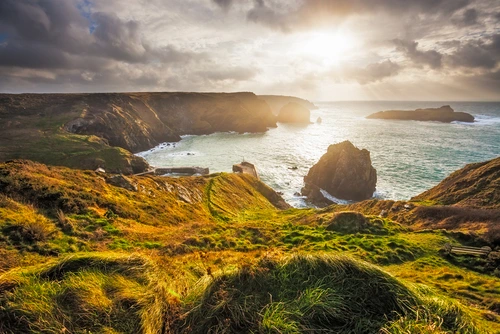
I then decided to take a smaller island and extract the individual vertices (also known as nodes) that make up the shapes. For this, I chose the Isle of Skye because it’s one of the biggest British islands, and the coast is highly irregular and indented.
Using the version of the original shapefile where I retained 1% of the original vertices, Skye is represented by 772 individual nodes joined together to make a single polygon.
This produces a pretty good approximation of the coastline of Skye for most purposes. At this resolution, the coastline of Skye comes in at 330 miles (530km), compared with 456 miles (733km) at the original resolution.
But of course, we need to remember that if we had digitised every single rock around the coastline, the length would be nearly infinite. If you measured the coastline with a matchstick, for example, you’ll get an extremely high value (and a sore back).
All of this also gives you a little insight into how a geographical information system (GIS) deals with geometry and what goes into the shapes. It also helps explain why the very detailed, highly accurate spatial data files we can download from Ordnance Survey aren’t always the most appropriate ones to use in small-scale mapping.
So, how long is the coastline of Great Britain?
Well, if you want to swim or kayak around all islands then you should think about training for a distance of around 2,000 miles. If you want to walk the coastline of Great Britain, then it’s most likely going to be a bit more, or maybe a bit less (that depends upon how you plan your route).
Despite all the uncertainty, however, I think we can all agree that you’ll need to go more than 1,024 miles. So, maybe that’s how long the coast of Great Britain is?
[Read more: What is the roundest country on Earth?]


