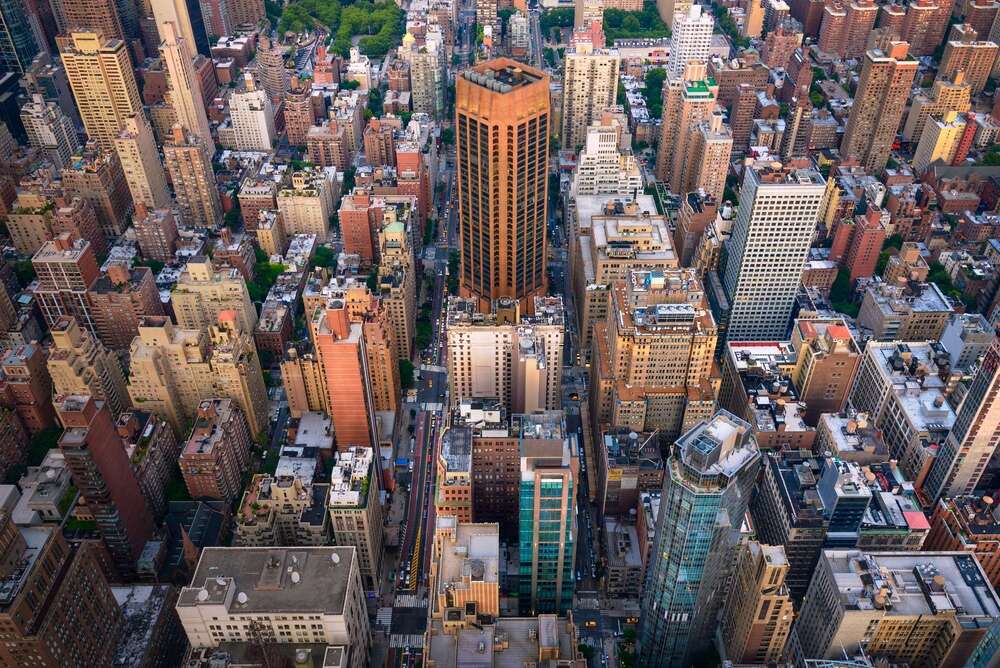
New York City’s vast and intricate web of streets, with its rich history, is now accessible through an updated app, NYC Street Map.
The Department of City Planning (DCP) has rolled out an updated version of the NYC Street Map tool, providing users with a record of not just the altered streets but also the original ones dating back to the early 20th century. The tool offers a digital compilation of the entire history of New York City’s 32,000-plus streets.

Speaking on the new offering, Dan Garodnick, the Department of City Planning director, said, “Word on the street is that this update will give the public all they need to know about New York City’s roads… It’s a great example of how we’re increasing transparency and putting data at New Yorkers’ fingertips.”
NYC maps historical streets
The tool, praised as an innovation that combines history with practicality, is hoped to benefit a broader audience range, from real estate developers to history enthusiasts.
Andrew Kimball, president & CEO of NYC Economic Development (NYCEDC), highlighted the tool’s potential, stating, “The NYC Street Map tool is an exciting and innovative example of how the city government is leveraging technology to unlock potential for businesses, real estate developers, and curious citizens alike.”
Manhattan Borough President Mark Levine commended the comprehensive mapping effort, emphasising its utility for both history buffs and property owners. Council Member Amanda Farías echoed similar sentiments, viewing it as a crucial tool for densely populated communities and envisioning its role in street safety enhancement.

A significant facet of the tool’s practical utility is its potential aid to homeowners and businesses contemplating property modifications. For instance, restaurateurs can strategically plan outdoor dining based on street width, while homeowners can glean specific details of street intersections for yard alterations.
Users can access detailed street schematics, explore historic maps from the early 1900s, and view modifications over the years. The tool collates more than 8,000 paper map documents maintained by DCP, ensuring extensive coverage. In areas with limited information, collaboration with the Borough President’s office is under way to bridge the gaps.
Besides its primary features, the NYC Street Map offers additional functions. Users can identify areas named in honour of prominent individuals like 9/11 victims, discover the city’s public “step streets”, trace streets converted for different uses like parks and pinpoint historical data of streets dating back to 1924.
It also provides useful details such as flood zone indicators for homes or businesses.
[Read more: New York City expands voucher programme amid housing crisis]


